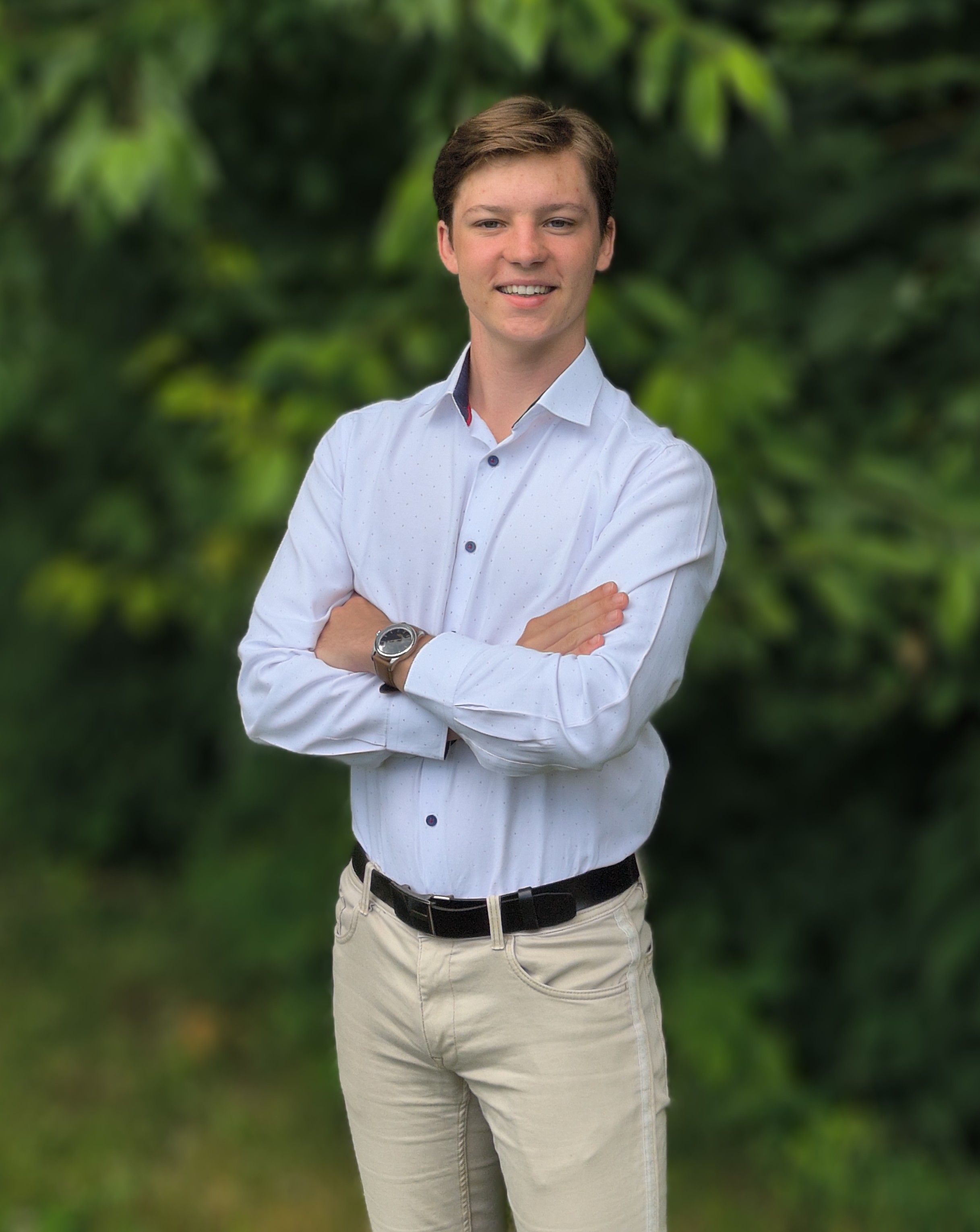

A finalist for the AI for Good Award, Nikolas developed SATALIS, which combines satellite imagery, mathematical modeling, and machine learning to map the cooling power of urban vegetation. As the first tool to automatically identify where green interventions have the greatest impact, it replaces costly fieldwork with instant, data-driven insights—transforming urban planning to better combat extreme heat.


